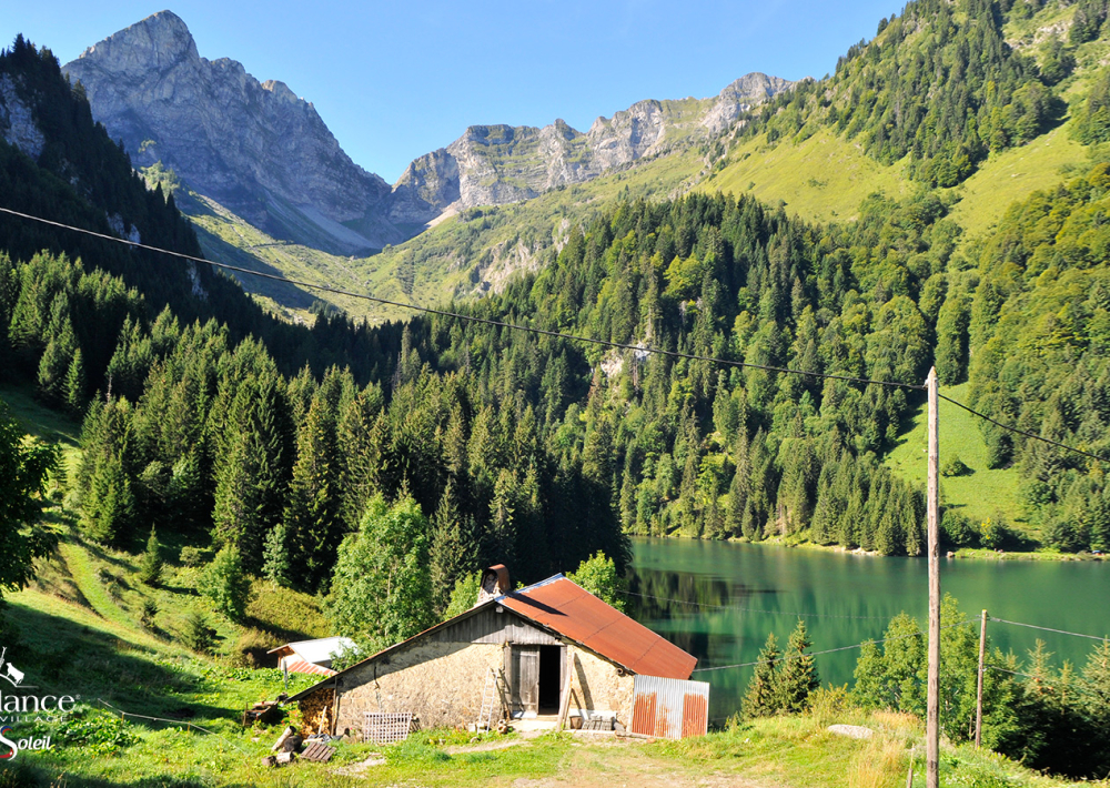
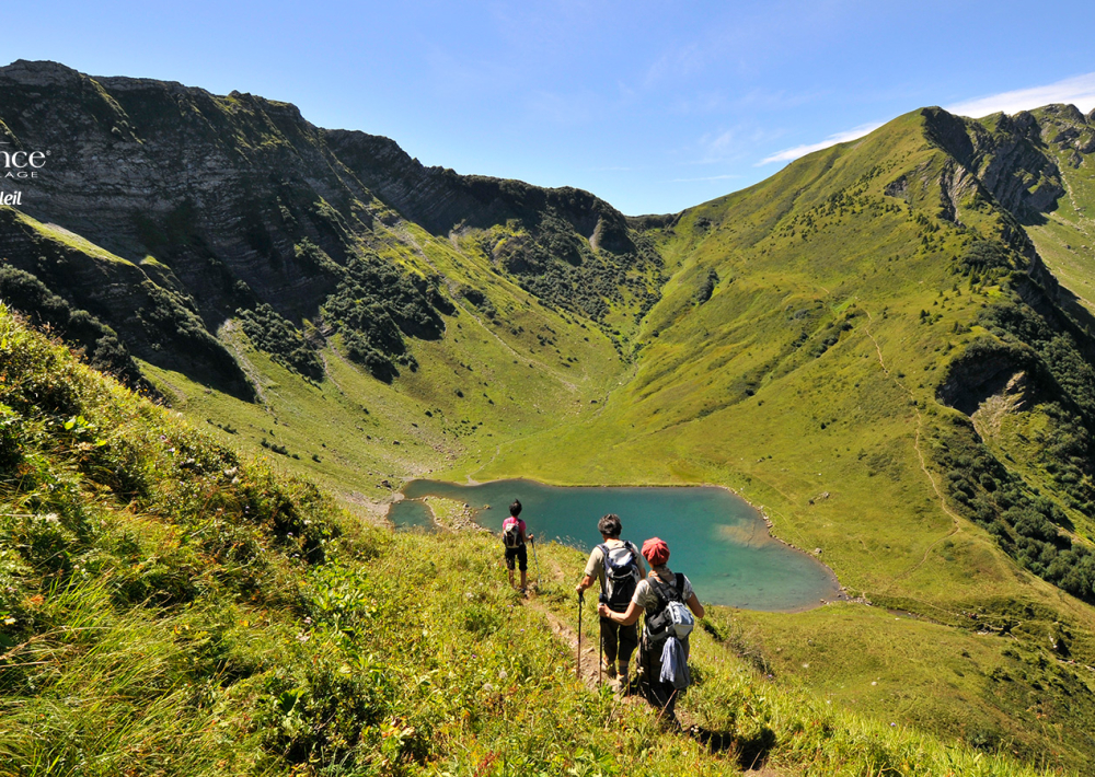
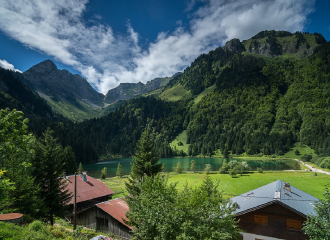
This hike, reserved for experienced hikers, takes you to two mountain lakes: the Lac des Plagnes (1190 m) and the Lac de Tavaneuse (1806 m). You will cross mountain pastures and discover their chalets and fountains.
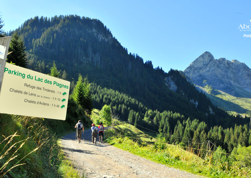
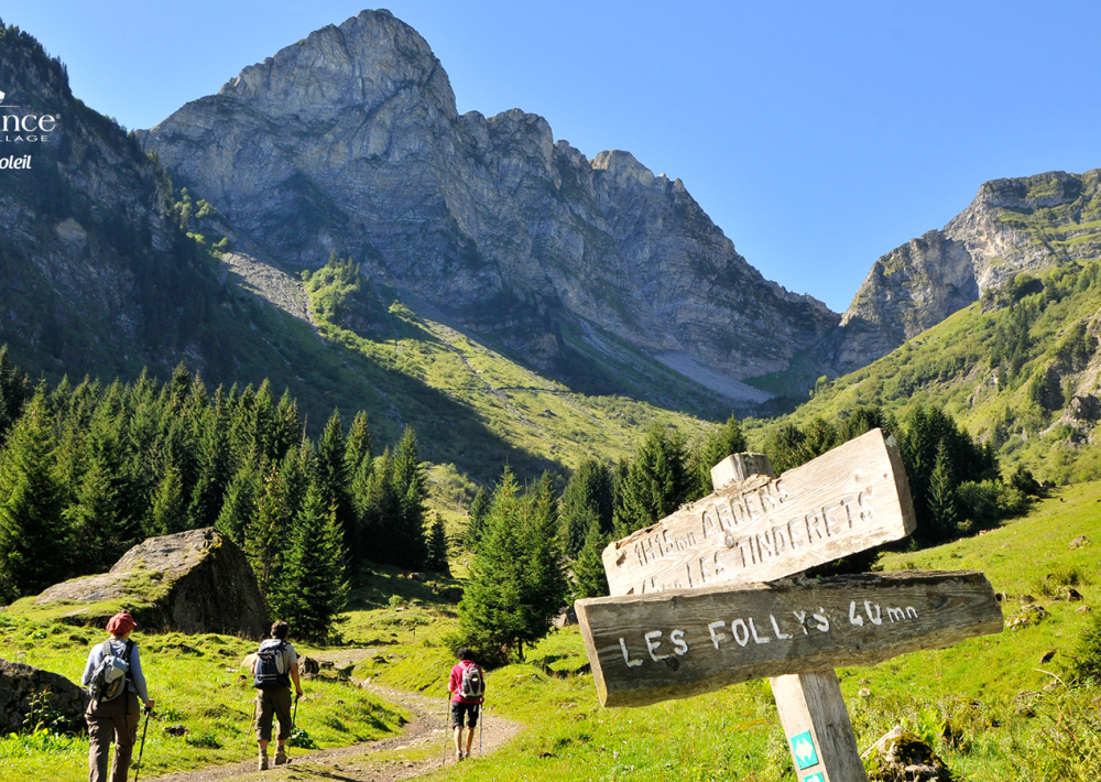
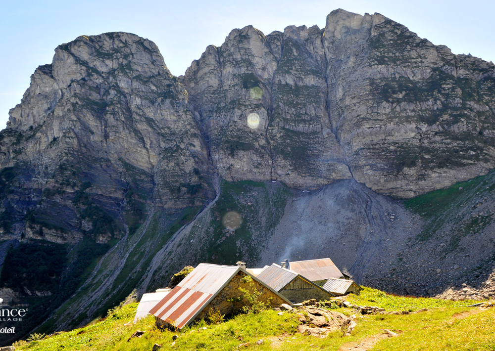
The hike starts at the Lac des Plagnes car park. Take the Cubourré path. Then, take the direction of the chalets of Ardens while passing by the pirons of Entre Deux Pertuis which will lead you to the Lake of Tavaneuse.
Once there, you can enjoy a tour of the lake and the clarity of its waters. A picnic is welcome to enjoy the place.
The return journey is via the alpine chalets of Tavaneuse and Serranants, you will reach the Plagnes lake via Prétairié and Cazot.
You will be able to take advantage of the magnificent viewpoints throughout this hike.
Guidebook with maps/step-by-step
0/ Parking des Plagnes 1/ From the "Parking des Plagnes", follow the lake on its northern side and always follow the direction "Chalets d'Ardens". You will pass the directional posts "Lac des Plagnes" and "Cubourre". At the first intersection after "Cubourre" turn right. Then, after the bends, at the place called "Sous Pointe de Chavache", also turn right. 2/ When you arrive at "Chalet d'Ardens" take the direction of "Lac de Tavaneuse", you will pass by "Les Pirons d'Ardens". 3/ Go down to the lake of Tavaneuse. 4/ Take the direction " Chalets de Tavaneuse " 5/ Follow the path in the direction of " les Serrants " 5/ Arriving at " Chalets des Serranants ", continue the path to reach the " Prétairié " car park. 6/ On your right, take the path that goes up in the forest towards " Cazot " and " Pré Chapeau ". 7/ You can then reach the Plagnes lake and its car park by taking the path on your right.
Ouverture
From 01/06 to 01/11.
Subject to favorable snow and weather conditions.
Tarifs
Free access.
Contact et accès Parking du lac des Plagnes 74360 Abondance Haute-Savoie (74)