The Mount Saint-Michel via Bellevarde
Challes-les-Eaux
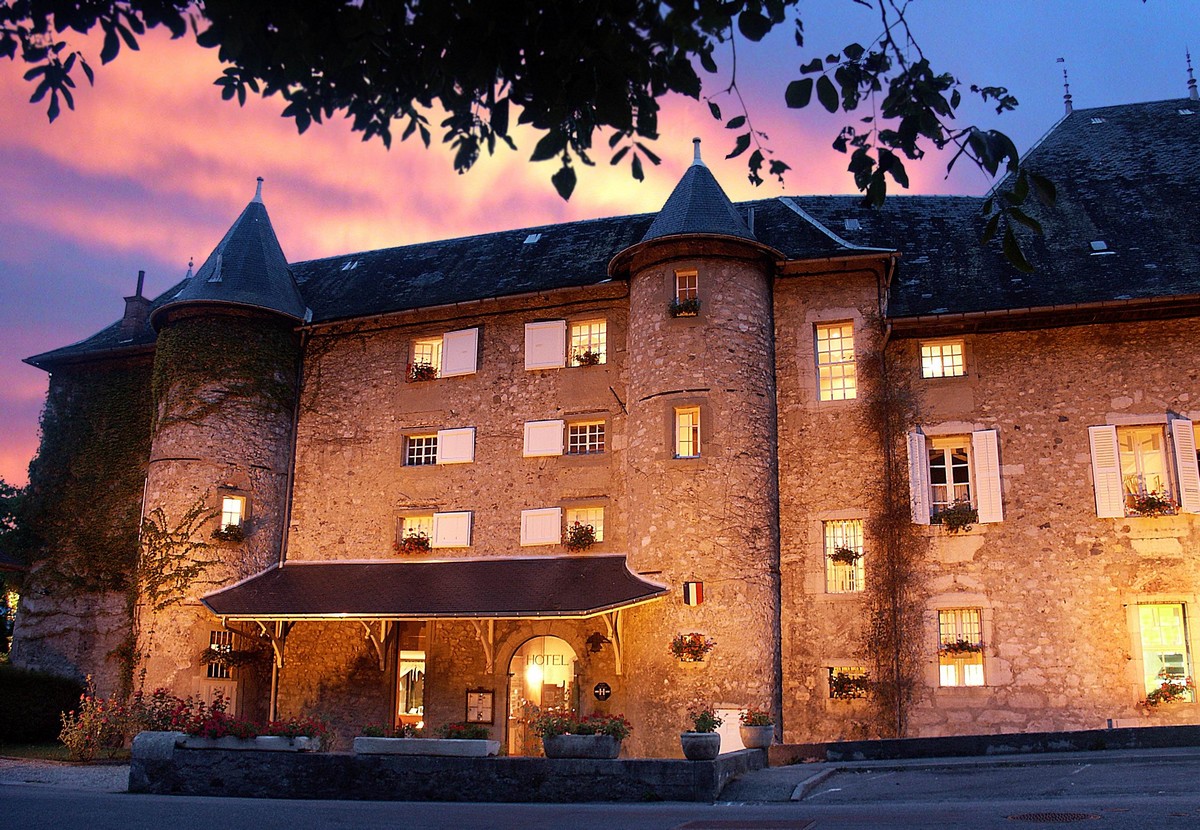
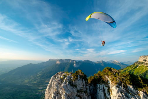
Climb up to the Château des Comtes de Challes (castle) and continue straight on to the end of the tarred road. Turn right and continue going up the main path in the direction of the Ferme de Bellevarde (farm). You pass in front of the "Pelouse Sèche des Plantées" (a Natura 2000 dry grassland site - information board), where a bench allows you to enjoy a superb view. Continue on the uphill trail and pass in front of the Bellevarde Farm (alt 620 m). Don't traverse the pastures and continue to follow the main path. You soon reach the "Col du Joueret" (Joueret Pass) where you have to take the right path, 50 minutes more walking to do. Follow the path which becomes narrow and sinuous until you reach the "Combe du Puits". Follow the itinerary of Le Mont Saint-Michel which joins a wide trail coming from the hamlet of Montmerlet. Take it on the right to reach the summit passing near an old Romanesque chapel. Go back down the same way.
Itinerary No. 4 on the map of Challes-les-Eaux Tourist Office (14 hikes - on sale €4)
Duration: 3.5 hrs
All year round.
TarifsFree of charge
Contact et accès Office de Tourisme de Challes-les-Eaux73190 Challes-les-Eaux
Savoie (73)
Informations complémentaires
Ça peut vous intéresser


Château des Comtes de Challes


Family’s Camping Le Savoy


Château des Comtes de Challes


Le Castel Gourmand


Chalet du Mini-Golf


Les Allobroges


Contact Hotel Les Ailes


Lake

Au bistro de Julie

Sushiko

La P’tiote n°2

Mini-golf


