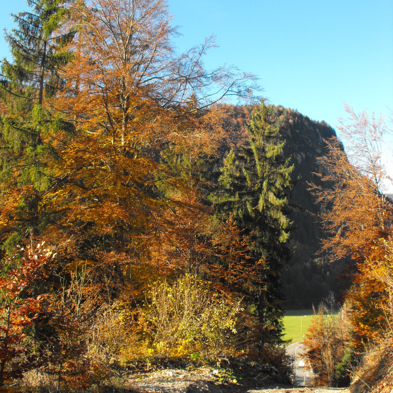
This moderate level hike invites you to discover the mountain pastures on the southern side of the Mont de Grange.
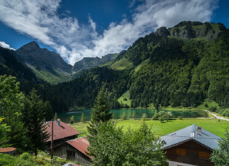
The Plagnes lake and the Cubourré site are Unesco Chablais Geopark sites. From the glaciers to the bulging peat bogs, the path around the lake takes you through the landscapes that have succeeded one another over the last 20,000 years.
You will then cross the Montagne de Lens, where the word "Montagne" refers to the mountain pasture where pastoral activity is practiced. You can take advantage of the "chèvre" (a wooden fountain dug into a tree trunk), to refresh yourself.
You will then reach the chalets of Lenlevay, the highest point (1733 m), with an exceptional panorama of the Swiss summits and the Chablais, by passing on a small section of the GR5. The path crosses alpine meadows and rhododendron heaths, the natural habitat of the cock of the walkerel (little grouse).
The descent invites you to discover traditional mountain chalets and small chapels and oratories.
Guidebook with maps/step-by-step
Duration: 4h20 (complete tour) with a 2h45 variation Time to climb: 2h20 Time to get down: 2h
1/ Main itinerary: reach the edge of the lake and follow the direction of Chalets de Lens by the refuge des Tindérêts. Shorter variant: go up the gravel path at the end of the car park, direction refuge des Tindérêts. The 2 routes meet before the Chalet de Cubourré. 2/ Follow the path up the combe d'Ardens in front of you. 3/ Leave the track to follow the path which goes up to the refuge of Tindérêts. 4/ Take the path above the refuge through a copse of green alders. 5/ After crossing the big schist corridor, climb the few steps made with tree roots to reach the Aup Couti. This last passage can be tricky for people who are not initiated to the mountain. 6/ Join the Lens mountain pasture by the path on the left. After 200 m, you will discover the Montagne de Lens and its chalets below. 7/ Continue on the path that goes down to the Chalets de Lens. At the crossroads, you can shorten the circuit by returning to the Plagnes car park in 45 minutes (alternative). 8/ Continue the hike towards the chalets of Lenlevay. After a long but easy climb, you reach Les Covagnes (or Covagny), you are on the GR5. 9/ Turn left, towards the chalets de Lenlevay, just before these, turn left towards the path of the chalets du Jouly Haut then Bas. 10/ Continue along the path until you reach Les Trables oratory, then take the path on the left which descends through the grass and joins an old path through the forest (beacon). 11/ At the path, turn left towards Tetagottay, then right down to the edge of the meadow. At the bottom of the valley, you can see the Plagnes lake, you will soon have arrived.
Ouverture
From 01/05 to 15/11.
Subject to favorable snow and weather conditions.
Tarifs
Free access.
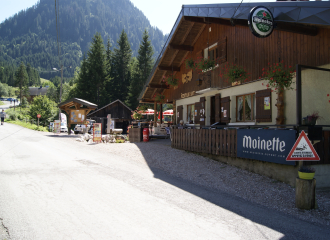
Contact et accès Lac des Plagnes 74360 Abondance Haute-Savoie (74)