CARTE IGN 3335 ET and 3435ET : on sale at "Lolita Boutique"
HIKING GUIDE BOOKS : 5 € on sale at the Tourist Office or by mail (download your order)
CARTOGUIDE : 7€ on sale at the Tourist Office
PACK : TOPO GUIDE + CARTOGUIDE : 10€ On sale at the Tourist Office
WALKING OUT AND ACCOMPANIED: see Mountain guides
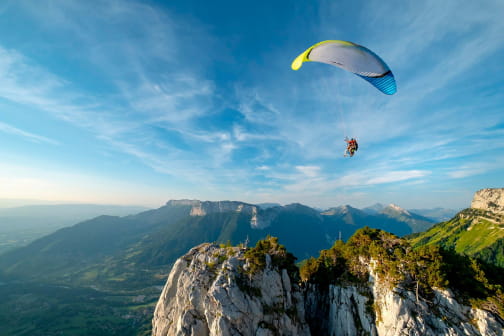
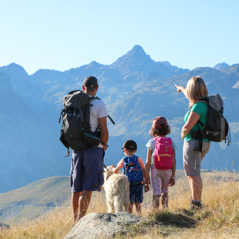
With the many lakes and many landscapes St Sorlin has a beautiful environment and many hiking trails. Below walks and hikes possible around St Sorlin:
Les trois lacs This hike is a little bit longer from the others, but it is not difficult. You can reach the beautifull site called ?les 3 lacs? (the 3 lakes) at the foot of the Etendard glacier.
Start Col de la Croix de Fer, follow signs for « Refuge de l'Etendard ». Lengh : 5h Ramp: 366m to get to the refuge (catering).
Ouverture
From 01/05 to 30/11. Depends on the snow. Ask the Tourist Office for more information.
Tarifs
Hiking guide for sale at the Tourist Office : 5€ Cartoguide : 7€ Pack of hiking guides and maps of the Massif Arvan Villard: 10€
Hinking trails : open access
Contact et accès 73530 Saint-Sorlin-d'Arves Savoie (73)