TECHNICAL INFORMATION Starting point: Car park at the entrance of Oulles Height gain: 700 m Duration: 2 1/2 hours Distance: 3.9 km Level: Medium
MAP OBP no.1 (Oisans au Bout des Pieds): path 636 IGN Top 25 no. 3335 OT
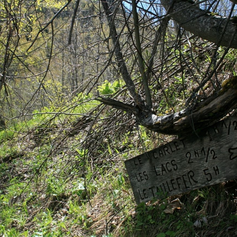
ROUTE Starting from Oulles, walk along the road to Le Pouillard and then carry on along the gravel track before turning off right after about 750 m. The path becomes steeper, offering wonderful views over Oulles and all the Oisans mountain tops. It then comes out into pastureland, goes just under the Chalet du Carrelet and on to the Refuge du Taillefer mountain hut.