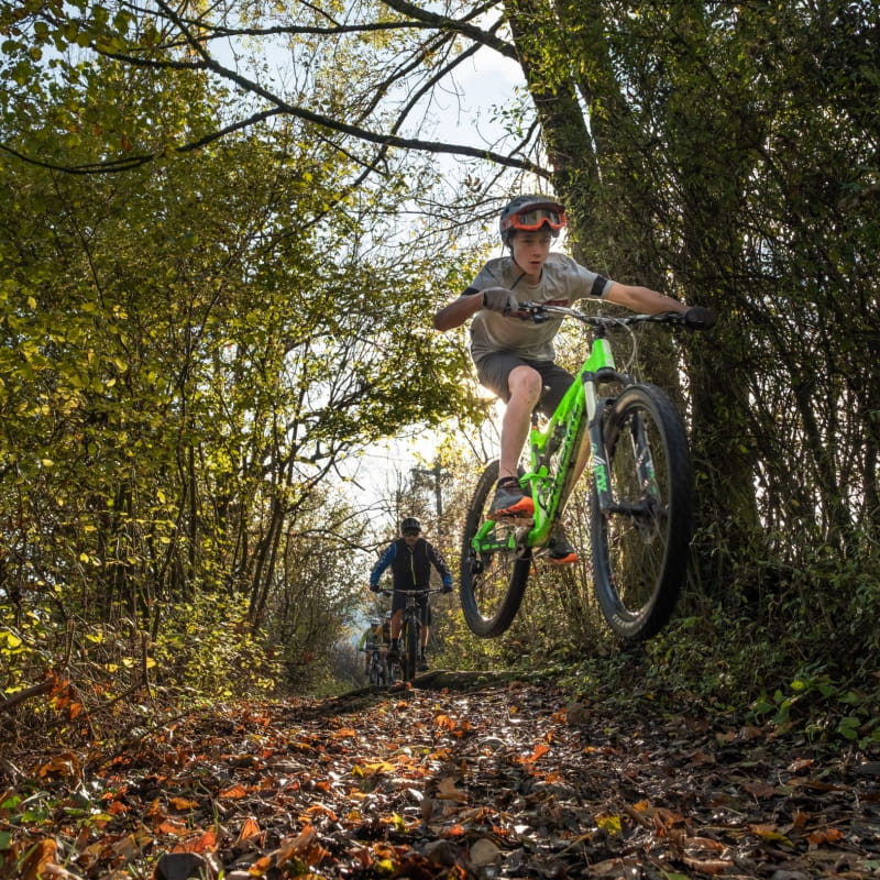
From the Doussard Beach carpark, cross D1508 road towards the sports complex; pass between the tennis courts to the bike path that you will take to Lathuile (les Marais), at the intersection with route du Bout du Lac. Turn left, and then head into the marshy area on the right-hand side. The trail rides along Ruisseau de la Bornette stream. When you exit the marsh, take another left, cross route du Bout du Lac, and then turn right onto a narrow paved road that ascends towards Marceau and that rides along Ruisseau de la Bornette stream. Visit the communal oven and fountain. When you leave the hamlet, turn right onto the 1st drivable road, and then take the GR96 trail to Arnand where a nice bridge allows you to cross the Ire River. Take the road heading downhill, and then turn right onto route des Côtes until you reach the intersection with Chemin de la Serraz, turn right here. Next, pass through the small Z.A. des Vernays business park. The path continues through the forest, slightly uphill, and then heads back downhill to Le Birdie hotel, in Giez. Turn left onto the road that descends towards the prairie, and then just after the driving range turn left onto a path called “Chemin des Planches à la Gare”, which leads to the bike path. Take the bike path to a place called “Sous les Murets”, where it intersects with Chemin Rural de Vesonne. Turn right to join up with Route de Vesonne, continue riding on D42 road, cross Nant de Montmin creek – a very popular spot for canyoning among local guides and whitewater enthusiasts – then turn left onto Chemin de la Forge, and then right onto chemin du Pré de l’Ile which descends to the small hamlet “le Villard”. Turn right, and take a path called Rochafaux, which rides along Nant de Montmin creek to Verthier hamlet. Take time to marvel at the washhouse, the old chapel, and Blain house… – Take Route du Vieux Pont, cross Route de Talloires and continue on Route de la Vieille Eglise – the entrance to the Bout du Lac d’Annecy Nature Reserve – until you reach D1508 road. Cross this main road at Pont Monnet bridge, then turn right on to the bike path towards Bout du Lac, ride to the tennis courts and cross back over D1508 road to your starting point.
Ouverture
All year round.
Subject to snow conditions.
Tarifs
Free access. 5 mountain bike routes kit to purchase for 3€ in the Faverges and Doussard Tourist Offices.
Contact et accès Route de la Plage Plage de Doussard 74210 Doussard Haute-Savoie (74)
Balisage : Le parcours est balisé avec des panneaux représentés par un pictogramme triangle orange ainsi que 2 ronds orange indiquant le sens de la direction.