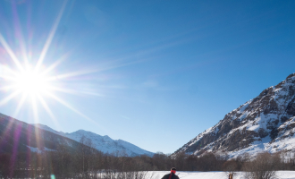
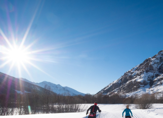
The name Arc would come from “ar” which would mean “valley in the form of a plain”. This tributary of the Isère has its source at 2770 m at the foot of the former Trois Becs glacier and at Lac des Lower springs, close to the Franco-Italian border. With a length of 128 km, and thanks to steep slopes, the Arc has been exploited by many industrialists, in particular for hydroelectricity.
Guidebook with maps/step-by-step
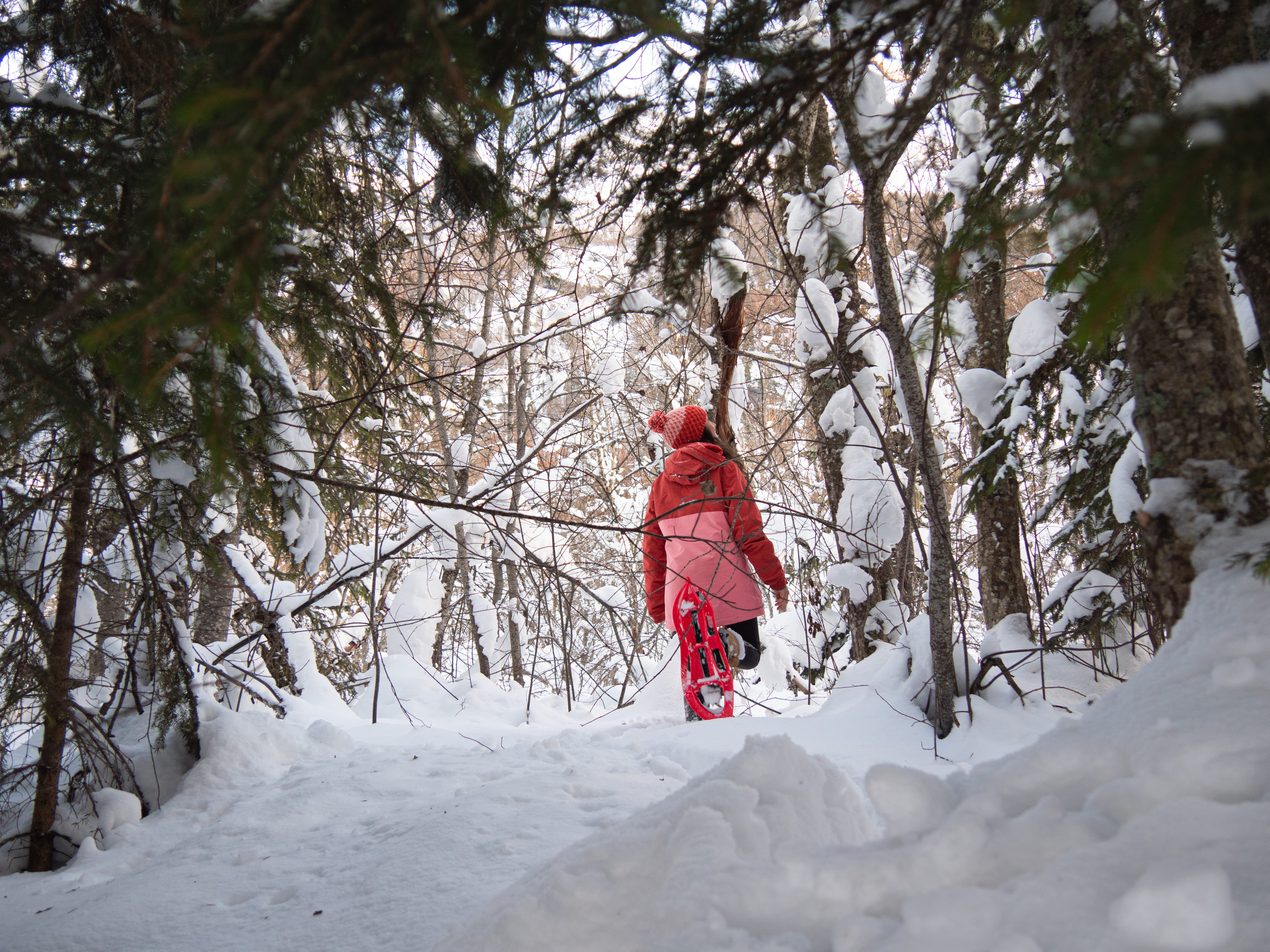
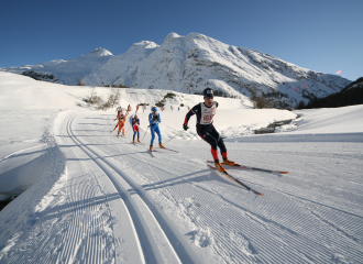
From the car park, opposite the Espace sportif Le Carreley, turn left and join the starting panel for the pedestrian, snowshoe and fatbike routes. The route runs along the D902. Turn left and cross the road. Walk between open and wooded spaces and reach the alpine domain. Go along the Arc on the right bank. Cross over the bridge and follow the route in the open field, cross the D902a road and reach the houses, passing next to the St-Claude Chapel. Climb the small hill and reach the Chapelle St-Antoine. From there follow the route that joins the starting point.
Ouverture
From 01/12 to 30/04.
Subject to snow conditions.
Tarifs
Free access.
Contact et accès Le Carreley 73480 Bessans Savoie (73)