Le Môle
Ayse
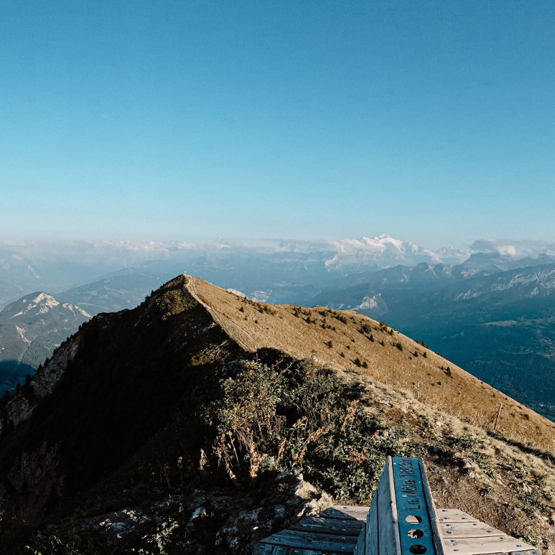
Altitude of 1863 m and change in altitude of approximately 700 m.
The walk lasts about 3 hrs to reach the summit of the Môle, using a safe, well-maintained footpath. You can reduce the length of the walk if you want, as it is divided into three stages lasting 1 hr each.
The Môle mountain is shaped like a near-perfect cone: 7 km long and 5 km wide, with an altitude of 1863 m. It is a little mountain in Haute-Savoie's terms, but is significant geographically-speaking: it separates the Arve valley, running from south to west, from the Giffre valley, running north to south-east and stands guard over the southern entry to the Genevois basin.
The fountain of the Petit Môle provides fresh drinking water that comes from the reservoir, the captchment area just a few hundred meters higher on the other side of the Môle, created in 1909 by the Commune d'Ayze.
OuvertureLe site est ouvert toute l'année. Attention à la pratique hivernale car la montange est ennéigée l'hiver.
TarifsGratuit
Contact et accès Le Môle74130 Ayse
Haute-Savoie (74)
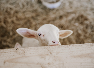
The sheepfold of Ayze

La Ferme des Beulets

Auberge d’Ayze – Chez l’Anaïs
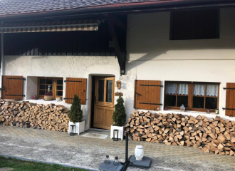
Au Chalet du Môle
