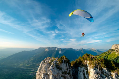
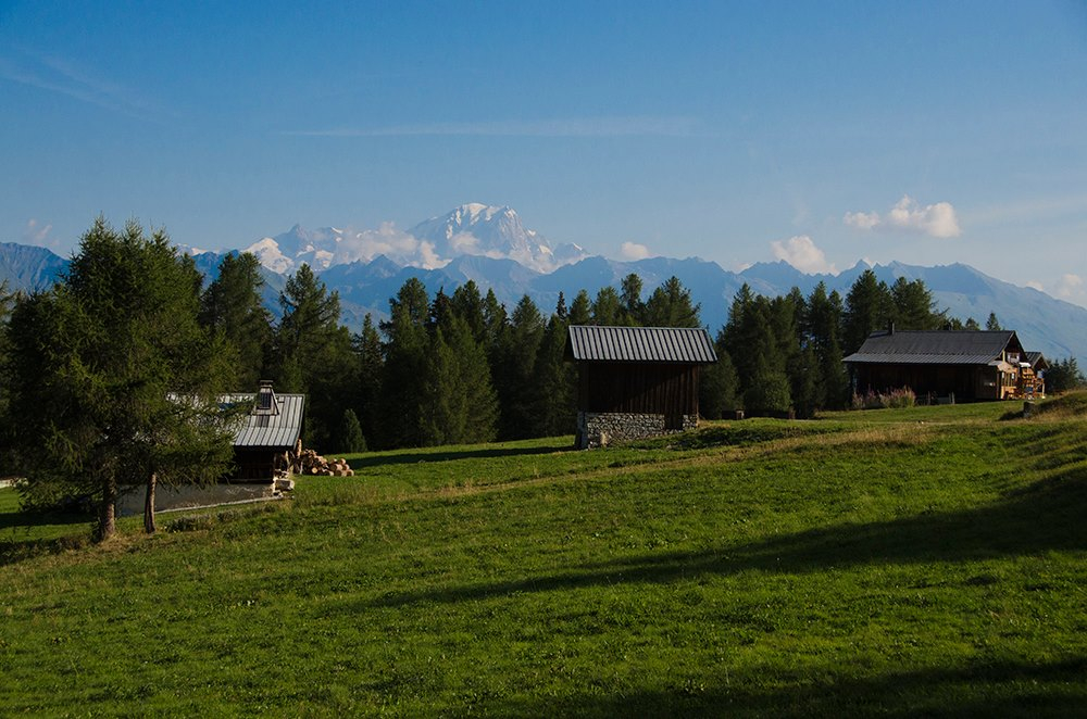
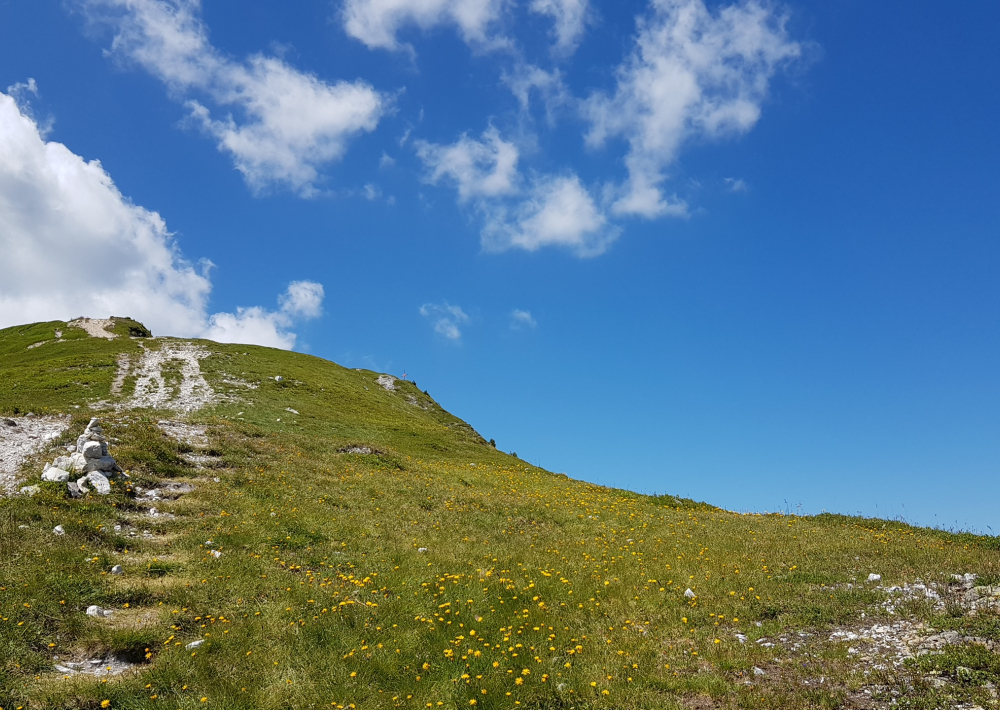
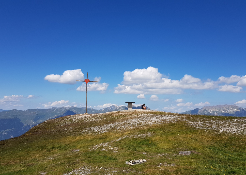
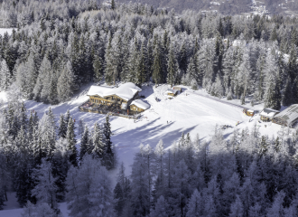
Drive to Plan Bois. From the small parking area near "Chez Laurette - Le Chalet du Plan Bois" restaurant, take the dirt road in the direction of Plagne Bellecôte (P) for 10 minutes. When you cross the stream that is often dry, fork left (P) and follow the well-marked trail that climbs through the forest. When you arrive in a large clearing, the trail continues to climb through the Swiss pines. At the next junction, go right (P). The forest thins out little by little, becoming a grassy, flower-covered area inhabited by marmots. After this long crossing, the path comes out onto a wide pass. Cross the large meadow to the right and in about 20 minutes you will arrive at the top of Mont Saint Jacques.
The way back follows the same route but offers completely different landscapes.
2nd option: going back if you have not left a car at Plan Bois: As you come back down from Mont Saint Jacques, you can go towards the top of Les Arpettes (Plagne Ange) and take Le Carroley path down to the valley of Les Bauches. You go towards Le Friolin restaurant then continue along the road to a small bridge where you will see the path next to the stream that you follow to Les Coches. (Be careful if you have left your car at Plan Bois)
3rd option: going back to your car at Plan Bois or if you take the chairlift: As you come back down from Mont Saint Jacques, you can go towards the top of Les Arpettes (Plagne Ange), then take the white dirt road on your left and go towards the ski tow rope which overlooks Le Carroley lake. From there, go past Bijolin chairlift and take the white dirt road that goes towards Pierres Blanches lake. Then you can take the blueberry track back down to Plan Bois and either drive down to Montchavin-Les Coches or take Plan Bois chairlift - please note the opening hours of the chairlift.
Ouverture
From 24/06 to 02/09/2023.
Tarifs
Free access. Single price: 8 €
1 day La Plagne pedestrian/MTB - Adult (from 13 years old): 22 € - Child (5 to 12 years old included): 18 €
1 week La Plagne pedestrian/MTB - Adult (from 13 years old): 47 € - Child (5 to 12 years old included): 38 €
Purchase in Tourist Offices.
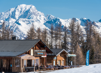
Contact et accès Restaurant Chez Laurette Plan Bois 1830m 73210 Montchavin-les-Coches Savoie (73)