Hiking: Lake Geneva coast (Saint-Gingolph to Thonon)
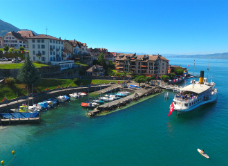
Saint-Gingolph
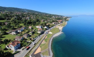
This is a hike accessible to all but which will take you through large forest massifs, across impetuous torrents or over the Balairon cliff at Saut de la Rose. You will alternate moments in the middle of nature with the discovery of the old villages of Les Plantés, Combes, or Champanges. Lake Geneva is always visible, offering a thousand different panoramas of the Jura, the Valais or the Bernese Alps; you will eventually reach it by descending through the Vignes de Marin.
Guidebook with maps/step-by-step1/ Departure from the quays of Saint-Gingolph. You will take the road that climbs towards Novel, a village located on the heights of the village of Saint-Gingolph. At the first hairpin bend, take the forest track on the right through the forest. This will take you around the quarry. Follow this path until you reach "Plan de Bret", a small hamlet.
2/ Continue on the track that goes down to Le Bret. Follow the road and turn left when you arrive at the inn "Chez Malou et Hugo". Follow this road to its end. At the end of the road, take the path that goes up on the left through the woods to the hamlet "Les Plantés".
You have two options here: either take the road that goes up and then a path to Thollon and then back down to Lugrin, or go down and before the second bend turn left and head for Meillerie.
3/ Arrive in Meillerie, pass the stone of Jean-Jacques Rousseau and at the crossroads take the road to the left. At the bend in the road, take the path on the right which remains flat and then climbs towards Les Combes (Lugrin). You will find yourself on the road, turn left until the end and then follow the path. At a crossroads, take the path that goes down and you will arrive at the chapel of Verron.
4/ Then turn left, at the fourth crossroads take the road that goes up on the left and then the road on the right. 200m further on, take the path on the right where you will find yellow and red markings. You will overlook Lugrin and the departmental road leading to Thollon-les-Mémises. You will have to cross this road when the path takes you there. Go down the path and arrive at a crossroads, go up on the left.
5/ You will arrive on the heights of Maxilly. Follow the small road and go up on the left. You will reach a crossroads, then take the road which goes up on the left. At a small intersection, take the small dead-end road on the right, take the path and cross the bridge. At the end of the path, go up the road on your left, cross the road and take the path that goes up in front of the Montigny business park. Follow the path, do not take the path that goes up on the left. You will reach the heights of the park of Neuvecelle, you can make a small stop in this park which is rich in flora.
6/ Take the path which goes up on the left. You will reach an orientation table then you will go up the road to the hamlet "Chez Potruz". Take the path on the right, indicated with a directional sign, which will lead you to another hamlet "Pierre Grosse". Go down to the left past the big stone and then up to the left along the stream, cross the road (be careful), and follow the path which will lead you to a small road which you will then follow. At the hamlet "Chez les Laurents" take the dead end road on the left and take the path that will lead you to the Larringes wood. At the first intersection, take the path down to the left and then at the next intersection take the path to the left. Continue straight on and ignore the other paths when you come to a junction. You will reach a road that you will walk down on the right to the next hamlet.
7/ At the chapel of "Chez Crosson" take the road on the left. After the last house, take the path on the right. You will then reach a carriageway, then turn left to go up the road. You will cross the hamlet of Pugny and you will arrive at a roundabout. Take the right-hand road and follow the signs for Saint-Martin and Champanges. When you reach the church, take the road to the left and then 200m further on turn left. After about 200m, turn right onto the path at the bottom of the meadows. Reach the end of this small road and take the path, ignoring any crossroads, until you reach the Gavot stables. Go down the road to the right and take the farm track on the left, you will pass the GAEC Savoie Gascogne. Continue straight on until you reach the Chablais apiary school, then turn right. Follow the path to reach the road to Fontanex.
8/ At the crossroads, take the path that goes down on the left and turn left again. After about 100m, take the path which goes down on the right (GRP Littoral du Léman signposting). At the end of the path, turn right, go straight on and at the intersection take the road on the left (rue de Rogine). Go down and reach the path that you will take to continue your descent and cross the D32 (be careful). Continue on the small dead-end road and after the bend, take the path that goes down to the left. Cross the D1005 (be very careful). Follow the road to the other side of the bridge and you have arrived in Thonon.
All year round.
Subject to favorable weather.
Free access.
Contact et accès Place Jean Moulin74500 Saint-Gingolph
Haute-Savoie (74)
Informations complémentaires
Ça peut vous intéresser
Parking Commerces
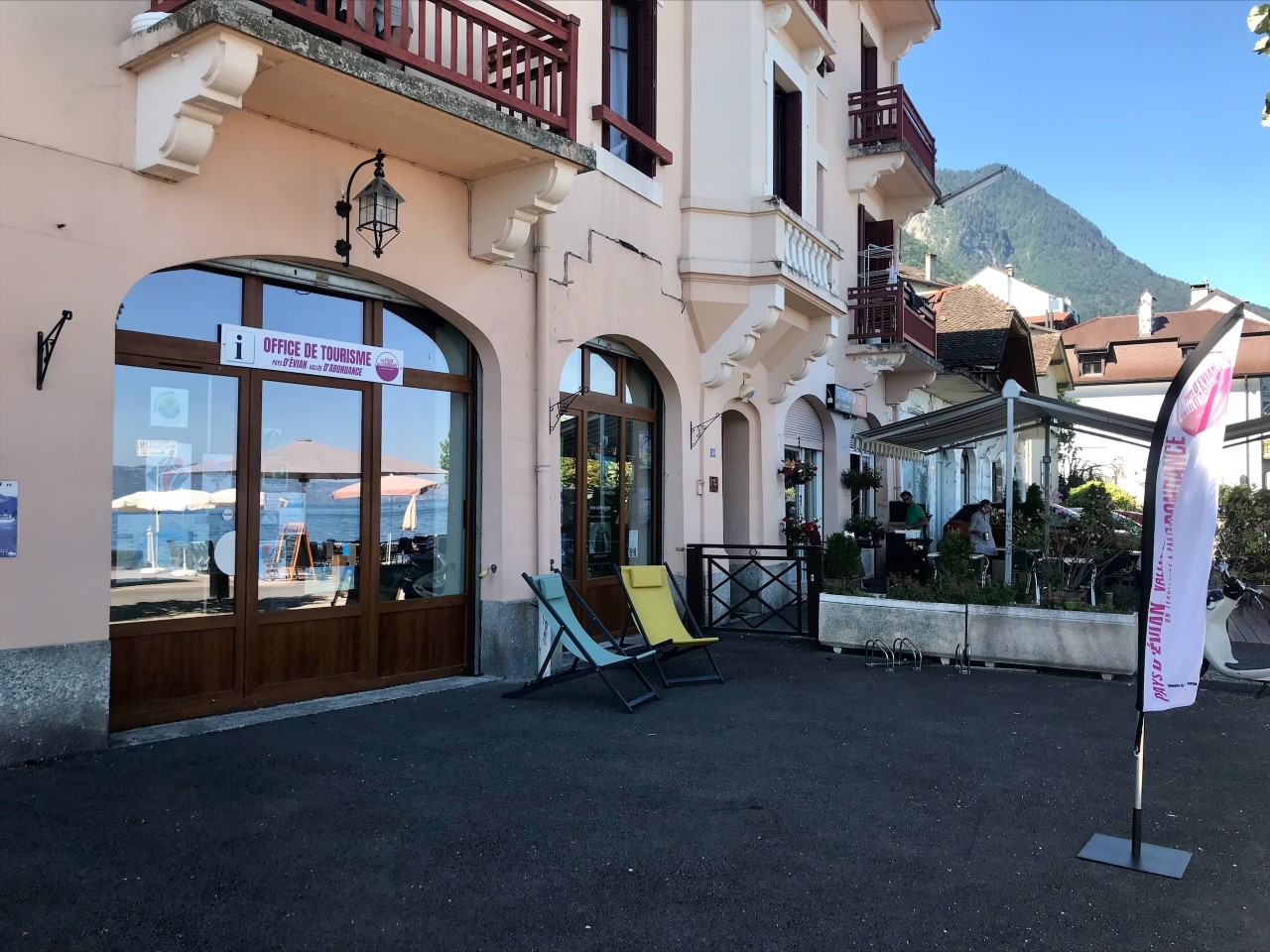
Saint-Gingolph Tourist Information Office

Restaurant Bellevue
