A nice hike of difficult difficulty in the Mont de Grange reserve, a Natura 2000 reserve and hunting reserve, where 300 hectares of nature are preserved, a refuge for remarkable wildlife, chamois, mouflons, roe deer, wild boars, marmots, royal troughs, roosters, etc. and a varied flora with some rare species, the alpine columbine, the Martagon lily, the Paradise lily, the bear-eared primrose.
From the Plan des Feux, you will follow the forest track in the direction of the Louennaz and then take the direction of the refuge of Trébentaz.
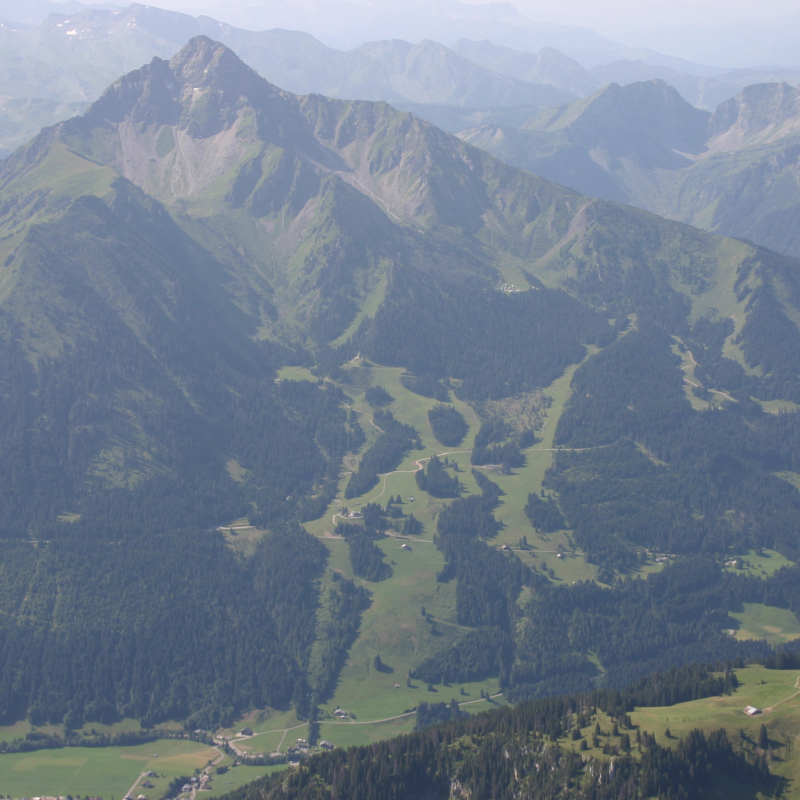
The refuge is a stage of the GR5. You can enjoy an exceptional panorama during a well-deserved lunch break!
At the refuge, you will take a small path towards the sign "Altitude 2,020 m", the highest point of the route and a beautiful view of the Swiss Alps of Valais and Vaud. The descent is via the Chalets d'alpage du Folliet through a valley. The return is done by taking the direction of Plan des Feux.
Variations from the village: Departures from the village: possibility to start the hike from Crêt Béni or Le Moulin. Allow an additional 1 hour 45 minutes of walking.
Guidebook with maps/step-by-step
0/ Start: Plan des Feux. 1/ Take the forest track in the direction of Louennaz. Continue along the track until you see the sign "Altitude 1550 m". 2/ Then, on the right, take the small path that leads to the refuge of Trébentaz. 3/ At the refuge, take the small path on the right, towards the sign "Altitude 2 020 m", the highest point of the route. 4/ The descent is via the Chalets du Folliet through a valley. 5/ Return to the Plan des Feux car park.
Variations from the village: 1. park at the Crêt-Béni car park. Take the Guéterlaz path to the left of the restaurant "le Clos Savoyard", leading directly to the Plan des Feux. 2. From the place called "le Moulin", take the direction of the cascade Sur Bayard by the G.R. 5, then follow "Refuge de Trébentaz".
Ouverture
From 01/06 to 30/09. Accessible except during snow and depending on weather conditions. Please check with the Tourist Office for the latest information on access conditions. This route is usually suitable for strong walkers during spring, summer, and autumn, except in adverse weather.
Subject to favorable weather.
Tarifs
Free access.
Contact et accès Route du Clos Baron Lieu-dit Plan des Feux 74360 La Chapelle-d'Abondance Haute-Savoie (74)